


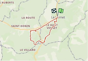

15.3 km | 24 km-effort


User


FREE GPS app for hiking
 SityTrail
IGN / Geographical institutes
SityTrail World
The world is yours!
Trail Walking of 13 km to be discovered at Provence-Alpes-Côte d'Azur, Alpes-de-Haute-Provence, Le Vernet. This trail is proposed by RobinMicheline.
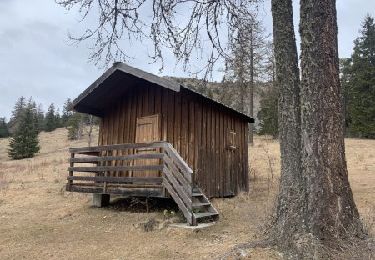
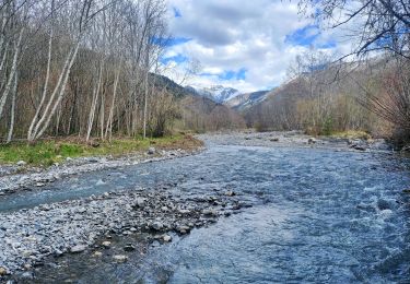
Ne pas faire s il a plu . Agréable


Walking
On foot

On foot

On foot

Walking
Walking

Walking
Walking
Walking